
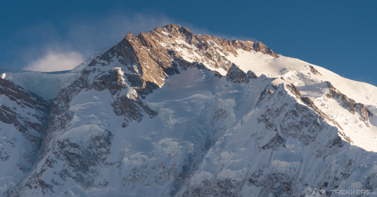
Climbing a mountain is never easy since the challenge is not just about reaching the summit, but also about overcoming the many other challenges that come along the way. And if you are opting to conquer the ‘Killer Mountain,’ you have to be more than ready to encounter the frigid and erratic weather of Nanga Parbat!
It is integral to be prepared for what you might face during your ascent, as nature can be unforeseeable, which can pose serious trouble. Although some mountains can be easier to climb because of relaxing weather, you cannot say this for the Naked Mountain – Nanga Parbat.
It is the world’s ninth-highest and second-highest eight-thousander of Pakistan. The mountain lies southeast of the northernmost bend of the Indus River in the Gilgit-Baltistan region of Pakistan-administered Kashmir. It is at an elevation of 8,126 meters, also making it the ninth-highest mountain in the world.
The King of the Mountains, Nanga Parbat, is notoriously known for being a tremendously difficult climb because of the constant rockfall and freezing weather. Though rockfall can be avoided by knowing the right routes and being a trained climber, the weather is unavoidable. This article will help you navigate through the extreme cold weather of Nanga Parbat and make your ascent a bit easier.

The fluctuating weather of Nanga Parbat makes it immensely difficult to climb Killer Mountain as the temperature can go as high as -40 degrees centigrade but usually ranges from -10 to 20 degrees. The weather progressively gets intense as the day passes; hence, preparing appropriately for the climb is the only way you will be able to reach the top. The frequent snowfall and the strong winds slow down the climbers and cause the remaining accidents not caused by the consistent rockfall.
The unpredictability of the weather is a big hazard for a climber as it can pose various challenges. Sudden blizzards and whiteouts can cause difficulty in navigation and vision, unexpected ice falls and serac collapse, the hasty change in temperature can lead to hypothermia and frostbite. Avalanches occur during heavy snowfall, and the speedy winds can increase the risk of climbers losing their balance. The quickly developing thunderstorms can bring lightning with them and cause danger. All these changes in the weather can catch the climbers off guard, coercing them to make a quick decision for their safety.
Nature is unpredictable, and thus, these situations are unavoidable. However, you can prepare for your ascent in every way possible. Being athletic and trained as a climber is the first step to consider climbing the Nanga Parbat. After the training, the most integral step is to pack and prepare accordingly. Because you cannot overpack, packing fewer items can also be problematic. So, you need to keep a balance and keep all the necessities.
First and foremost, you need to have a spacious and reliable backpack to pack all the essentials that including appropriate gear, clothes, and food to beat the extreme weather of Nanga Parbat.
For the gear, you need to pack the following items:

GEAR:
- Sturdy mountaineering boots.
- Crampons for the icy terrains.
- Gaiters.
- Balaclava or a facemask.
- A climbing helmet.
- Sunglasses for UV protection.
- Ice axes.
- GPS for navigation.
- A tent and a sleeping bag.
- Ropes and slings.
- Avalanche safety equipment.
CLOTHING ITEMS:
- A waterproof and windproof jacket.
- Insulated fleece pants.
- Warm base layers.
- Thick wool socks.
- Mittens or Mountaineering gloves.
OTHER ESSENTIALS:
- A flashlight.
- A satellite phone.
- Sunscreen
- A first aid box.
- Dry fruits or energy foods and drinks (bars, gels, chews, trail mix, drink mix).
- A climbing pack.
- A compass and a map.
- A Water bottle.
- A hand sanitizer and wipes.
- A moisturizer and lip balm.
- A Swiss knife.
Carrying all these essentials will play a huge part in having a safe trip. Another way you can stay safe and successfully climb the breathtaking Nanga Parbat is by acclimatizing. The best way to acclimatize is to be slow and steady while climbing to the top, as climbers are risking their safety and health when they push too hard.
To acclimatize, you need to be aware of the base camps and the campsites available on the route. There are three base camps used for climbing the Nanga Parbat: the Rakhiot base camp near Fairy Meadows, the Diamir base camp on the west side, mostly used for climbing the Kinshofer route, and the Herrligkoffer base camp at the foot of the Rupal face. Other than the base camps, there are five camps at different elevations: the base camp just at the base of the mountain, camp 1 at 4,900 meters, camp 2 at 5,900 meters, camp 3 at 65,00 meters, and camp 4 at 7,000 meters. The fourth camp is often the final camp before summit attempts.
By following these instructions and a proper guide to Nanga Parbat, you’ll be prepared to face one of the most challenging climbs of your life. Stay safe and enjoy every bit of your risky yet exhilarating adventure.


