
(An Overview of What You Might Witness While Climbing the Beautiful Yet Perilous Mountain)
Climbing the Gasherbrum I, an 8080-meter mountain nestled in the Karakoram range, can be quite complex. Though not the hardest, the ‘Beautiful Mountain’ in Gilgit-Baltistan requires proficient mountaineering skills along with knowing the possible outcomes of your journey.
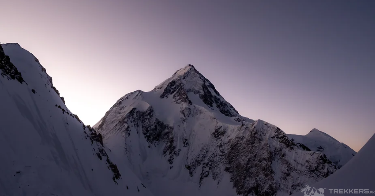
The majestic Gasherbrum I mountain stands at an elevation of 8,080 meters, making it the eleventh-highest mountain in the world and the third-highest mountain in Pakistan. In the article “The World’s 15 Most Dangerous Mountains” by Ultimate Kilimanjaro, they rank Gasherbrum I as the 7th deadliest mountain to exist.
Previous experience helps during the ascent, but at the end of the day, every mountain and adventure differs. Climbing the Hidden Mountain can be nerve-wracking for even exceptional mountaineers. Its rocky terrain, steep slopes, and extreme weather can intensify. Hence, knowing what you are signing up for will help you prepare for climbing the eleventh-highest mountain.
When considering climbing the Gasherbrum I Mountain, it is essential to keep the following factors in mind.
The Gasherbrum I Mountain is located in the Karakoram range. The range is notorious for its extreme weather ranging up to -60 degrees centigrade. It is integral to have the appropriate clothes to stay protected from the harsh weather and the frequent storms.

Avalanches and sudden icefalls are a result of the unpredictable weather. The route to the summit of Gasherbrum I is known for its hazardous icefalls and avalanches. The risk intensifies at Camp 2, as the route from there is narrow and steep. Massive ice formations there have and continue to fall unexpectedly. Possessing and knowing how to use specific gear is necessary to stay safe from natural calamities.
Other than the weather, climbing the 11th highest mountain globally can result in altitude sickness. Exposure to altitude sickness can potentially lead to fatal high-altitude pulmonary edema (HAPE) and high-altitude cerebral edema (HACE). The only prevention of altitude sickness is to acclimatize accordingly at every campsite.
Gasherbrum I’s extremely grueling terrain, perilous crevasses, steep rocks, and seracs demand exceptional mountaineering skills. It poses challenges that progressively get more demanding. Thus, the extremely lengthy and tough can lead to severe exhaustion, especially during the death zone (above 8,000 m). It is necessary to be strategic while climbing so you don’t overwork yourself.
Your strategy matters greatly when establishing camps as the ascent becomes steeper. And the icy terrain requires meticulous execution to remain stable. Being quick on your feet metaphorically and both are necessary while climbing up the Gasherbrum I Mountain. One wrong move or equipment failure can lead to an injury or, worse, death.
Injuries are a huge inconvenience as the medical supplies are somewhat insufficient. Gasherbrum I’s remote location and extremely difficult terrain also make rescues quite hard. It is important to be sure-footed and try to be as safe as possible because there is a major chance that your injury might not be able to heal.
Along with all of the injuries, another reason why you might struggle while climbing the Gasherbrum I Mountain is the limited oxygen availability. With the summit reaching 8,080 meters, Gasherbrum I offered significantly less oxygen than other mountains that resided at lower altitudes. This can put climbers at high risk, even increasing the risk of Hypoxia and making otherwise easy tasks harder.
The ascent to Gasherbrum I Mountain is, without a doubt, filled with risks and peril, but with a high-minded strategy, appropriate gear, and training, you can successfully make it to the top of the Hidden Mountain. Just standing at the top of the mountain and reveling in the magnificent view makes every little inconvenience worthwhile.
Hopefully, this article will prepare you for what is about to come your way and reach the top safely. To know more about the hidden peak, read: Gasherbrum I: A Breakdown of the Journey from Base to Summit
To find out more about the Gasherbrum Mountains, read:


