
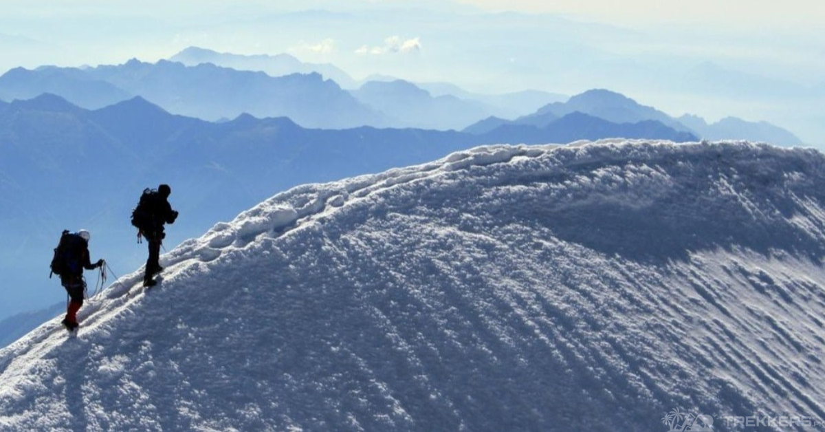
Gasherbrum I, more popularly known as the Hidden Peak because the mountain not being visible from the Baltoro glacier. The breathtakingly entrancing mountain is nestled between the enchanting Shigar District of Gilgit Baltistan, Pakistan, and Tashkurgan in the Xinjiang of China. The ‘Beautiful Mountain’ stands proudly at 8,080 meters, making it the world’s eleventh-highest mountain and Pakistan’s third-highest mountain. It is also the 5th peak of the Karakoram range, named K5.
About Gasherbrum I
Gasherbrum I is a challenging mountain because of the technical difficulties you might encounter while climbing 8,080 meters to the top. That is why only exceptional mountaineers can reach the top, and only 200 of them have made it to the summit successfully.

Though it matters to be a skilled mountaineer, You need to know almost everything about Gasherbrum I— being aware of the routes, the base camps, and what you might face during the ascent.
Routes
Choosing a suitable route is an integral part of having a safe journey. There are technically three routes through which you can climb to the Gasherbrum I mountain. The first known route of Gasherbrum I has been closed since the 80s due to the Siachen conflict. Now, it is usually climbed from its more prominent and intricately built route from the plateau of the Gasherbrum glacier.
The more popular routes to the Hidden Mountain are the Gasherbrum La up to the Japanese Culvert and the routes along the North Ridge. The route from the west Ridge is not as used as the others because of the long distance from camp 1 to the summit, despite it being less technical. It is safe to use the route used by most people. It is better known and also creates a sense of camaraderie.
While climbing an eight-thousander, acclimatization is necessary to have a successful climb. To acclimatize during your trip, you will have to stay at various campsites to avoid altitude sickness, frostbite, and hypothermia.
From Base Camp to Summit
There are the following camps you will stay at while climbing the Gasherbrum I.

Gasherbrum I and II share the same base camps, and they also have a common camp 1. The first camp is not located on the mountain but on the Gasherbrum glacier. This route used to be easy to travel from. But over the years, a few crevasses have made the route longer and quite dangerous.
From Camp I (5,950 m) to Camp II (6,400 m), Gasherbrum La separates both mountains. This is one of the indications that you have reached Camp 2. From camp 2, the weather intensified, and the slopes got steeper, but it’s nothing having appropriate gear couldn’t solve.
Covering 6,400 meters would lead you to Camp 3 (7,300 m). This route is going to be the most fascinating part of your whole journey because of the extremely breathtaking view and the various possible variations of the routes. People take different routes with their present scenarios in mind.
From Camp III, the terrain gets narrower to the summit (8,080 m). This “final push” to the summit is quite difficult as the rocky trail gets steeper and steeper progressively. Precision and patience are both important to reach the top successfully.
Safety Precautions & Preparation
To stay protected from the frigid weather, rocky trails, and steep slopes, you must have the appropriate gear and clothing items. You can only reach the summit with a reliable backpack filled with necessary items. Of course, being a skilled mountaineer matters, but having a strategy along with proper tools is necessary too.
This high-risk yet exhilarating venture takes about six to nine weeks, depending on the weather. Acclimatizing along the way and resting in between climbing the eight-thousander, you will finally reach the mystical summit. The view is worth every penny and minor risk during the ascent.
Descending the Gasherbrum I mountain can be tricky if the snow ramps are icy. Though it does happen as often, you still need to prepare for it. Observers have noted that the descent is riskier than the ascent, so it is essential to be as careful as possible.
Conclusion
With training, essentials, and complete knowledge, climbers must be aware of their surroundings and potential challenges. Being aware of routes, campsites, and potential natural calamities is beneficial for preparation.
Hopefully, this article has covered everything you need to know before you climb the Gasherbrum I Mountain and successfully reach the summit one day.
Check out more to know about Why You Should Climb the Gasherbrum I Before Ascending K2


This Post Has One Comment