
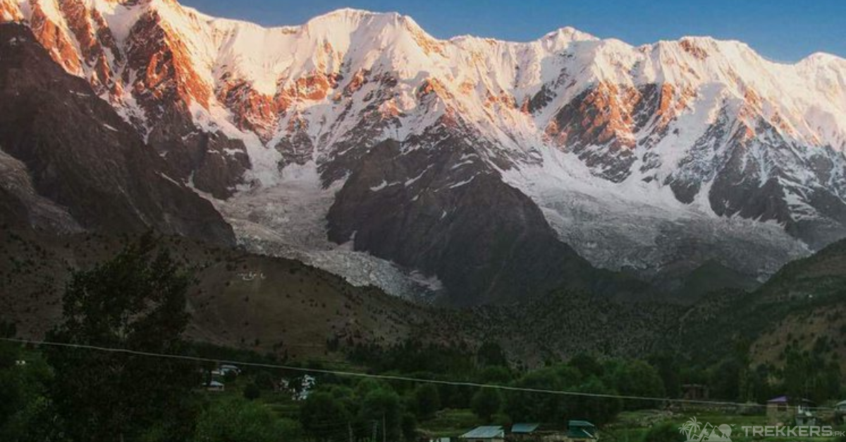
The majestic Nanga Parbat stands proudly at an elevation of 8,126 meters in the breathtaking western Himalayas, Pakistan. People call it the Killer Mountain because it is one of the deadliest mountains in the world. Though it is the ninth-highest mountain in the world, it is still always on a mountaineer’s bucket list because of its breathtaking scenery and thrilling yet high-risk climb!
Before climbing any mountain, knowing what you are signing up for is important, as you might not be ready for what is about to come your way. We can never predict nature, so it is important to be aware of what might happen.
Nanga Parbat is nestled in the westernmost part of the Himalayan range, Gilgit Baltistan, Pakistan. It has one of the most breathtakingly beautiful views from the top, but it is also notoriously known for its fatality rate and dangerous ascent.
This article is about all the possible challenges you might face while climbing the Nanga Parbat. This will help you to be aware of many things for your Nanga Parbat ascent!

Climbing a mountain for the first time is always nerve-wracking because it is a different experience. You never know what to expect; hence, you need to be prepared for everything. Climbing the Nanga Parbat is a big achievement for every mountaineer as it is one of the fourteen eight-thousanders.
One of the most common issues faced by mountaineers while climbing the Naked Mountain is the constant rockfall. The rockfall is a consistent threat during the ascent. The steep slopes and the Avalanches make the already risky climb harder. It is unpredictable, so it is better to climb in small groups and always be geared up. Make sure to choose the right route (the Diamir route is the safest). Ascend when the weather is stable to avoid rockfall. The last but most certainly not the least is to stay alert at all times and know your surroundings.
Other than the rockfall, the struggle while climbing the Nanga Parbat because of the weather is inevitable. The extreme weather gets progressively worse as you ascend higher and can also increase the risk of hypothermia and frostbite. Other than that, you can never know when you might face a severe storm. Preparation is the key to overcoming the cold. Prepare and pack accordingly, be aware of the routes, and you will survive the freezing weather.
As you climb higher, the air gets thinner, and the oxygen levels become lower and lower with every step. Another mistake made by climbers is using too much of their energy, forgetting that they cannot overwork themselves. All of this leads to altitude sickness, which can cause dizziness, nausea, shortness of breath, and difficulty sleeping. Altitude sickness can slow you down, so it is better to acclimatize as much as you can.
Indulging yourself in any activity for a long period with the same people, limited food and water, and fear of your life can take a toll on your mental health, too. Reaching the top of the Nanga Parbat can take almost more than a month. So, it is integral to have a positive mindset, be patient, and prioritize your safety. Along with all of that, you should enjoy the scenery around you, because you might never see it again.
During a multi-day hike, you can only have so many necessities. The food supply, the medical kit, and lack of sleep are some of the issues many mountaineers face. Balance in everything is key while climbing, as you are thousands of feet from the ground, and you need to work with what you have.
Some other challenges you can face while climbing the breathtaking Nanga Parbat are maintaining proper nutrition and hydration, carrying the heavy backpack along with all the gear, and just the overall risk and danger that can be overbearing, to begin with. You just need to be headstrong and know that once you reach the summit, it is going to be worth every minor inconvenience that you have taken during this trip.
It’s unrealistic to hope for a perfect climbing experience as you are climbing one of the deadliest mountains ever to exist but preparing and knowing as much as you can about the mountain is only going to help you during this journey.
Hopefully, this article has helped you to be aware of all the possibilities that you might face during your ascent to the Nanga Parbat.
To know more about Nanga Parbat, read this comprehensive guide: A Guide to Nanga Parbat: All You Need to Know About the Killer Mountain.


This Post Has One Comment