
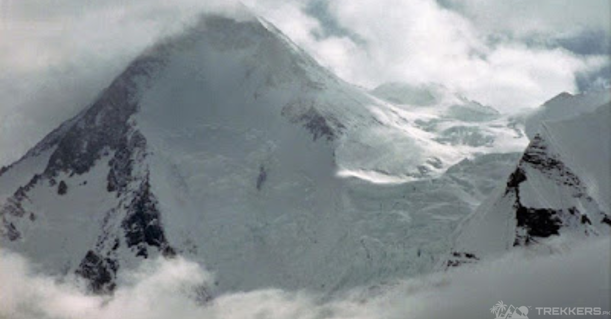
Nestled in the Karakoram range of Gilgit-Baltistan, Gasherbrum I is the eleventh-highest mountain in the world at an elevation of 8,080 meters. The mountain is also known as the Hidden Peak because of its out-of-sight location within the Gasherbrum Range.
Though not as hard as the other mountains in the Karakoram range, Gasherbrum I still requires efficient skills. Choosing the route for your ascent is an integral part of preparing for the climb. It is necessary to know which route is the safest option and can help you reach the summit with fewer complications.
Gasherbrum I can be summited through four routes: the South Face, the Northwest Ridge, the West Ridge, and the South-southeast Spur. Out of all the routes, the most used and accessible route is the Northwest Ridge. In contrast, the riskiest is the South Face.
The South Face of Gasherbrum I is notorious; its complex terrain, steep slopes, and extreme weather make it extremely hard to climb. Even for experienced climbers, the route requires efficient skills and experience to climb the breathtaking summit of Gasherbrum I successfully.

Meticulously training and improving your technical skills is the most integral part when climbing the Gasherbrum, I mountain. Mountaineers must prepare for the extreme weather on the South Face and pack accordingly. And they must acclimatize as much as they can during their ascent.
All climbers should know how to use the tools proficiently, as not knowing the correct use can cause many problems. To conquer the South Face, mountaineers must have crampons, ice axes, harnesses, ropes, helmets, and high-altitude clothing to have a safe and successful journey.
By following these safety measures and having mental resilience, any climber can make it to the summit of Gasherbrum I.
The South Face has some of the most notable attempts. One of them was when a Polish mountaineer Andrzej Zawada, and his team in 1975 climbed the mountain. Jerry Kukuczka, part of the Polish team in 1975, was the first climber ever to climb Gasherbrum I through the South Face.
During his extremely grueling ascent, he talked about the importance of being grounded but confident during your journey. He said, “Mountains have a way of dealing with overconfidence”. This statement reflects how you need to stay grounded yet confident and believe in yourself while climbing. While climbing the mountain, it is necessary to be careful about the sensitive environment.
Climbers should be respectful of the culture, should not leave their waste, and should not harm wildlife. The climbers should consider the South Face’s nature, flora, and fauna, as it is necessary to respect the ecosystem. Taking these measures will ensure Gasherbrum’s sustainability for a longer period.
In conclusion, the South Face of Gasherbrum I Mountain is not the easiest ascent because of its treacherous terrain. Though the hardships are quite significant, the incredibly entrancing beauty of the South Face makes every mountaineer’s struggle worthwhile. Respecting the locals and their culture, along with nature, is also an integral part of the journey.
So, with enough practice and appropriate gear, one can successfully climb to the top of the breathtaking mountain through the extremely tricky and grueling South Face of Gasherbrum I.
Click here to read the complete guide about Gasherbrum I from its base camp to the summit.


This Post Has One Comment