
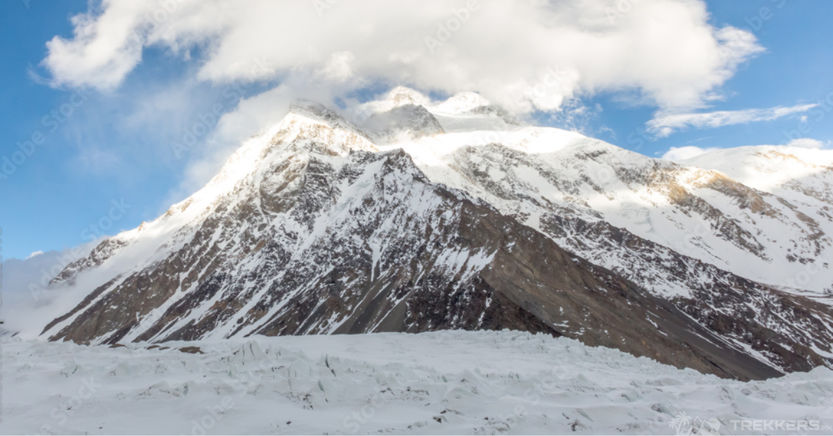
K2, a name that needs no introduction. The second-highest peak in the world, the ‘King of Mountains’ stands proudly at an elevation of 8,611 meters in the Karakoram ranges of Gilgit-Baltistan, Pakistan. This Savage Mountain is a dream for the daredevils and a nightmare for the climbers!
K2 – the Savage Mountain
Hailed as the toughest climb, K2 is only opted by those who look for more than just conquering the summits. Only the craziest and fittest mountaineers seek to venture to the top of this peak. But the brutal mountain does not welcome everyone, and unfortunately, most of them are doomed to death. As the stats reflect, approximately every one of the four climbers ends up unsuccessful and is seized by the mountain forever.
Even the world’s tallest mountain, Mount Everest, with an elevation of 8,849m, does not match the cruelty of K2. Every mountaineer knows that even though the K2 is 800 ft. (243.8 m) shorter than Everest, the victory still lies on the peak of mighty K2.
Now, the question is, why K2, the ‘savage mountain’, is a daring test for everyone? What makes it the hardest climb?
Let’s look at the different aspects that make it the most difficult and challenging climb.
The Remoteness of K2:
There are different reasons why K2 isn’t an easy target. The first and foremost reason is the region where it is situated. It is nestled in the most remote area in the Karakoram ranges of Pakistan.
The solitary mountain resides far from the town life. It is the loneliest mountain that does not give a sense of comfort at all. Moreover, if you are stuck, the rescue missions take a long time and are quite expensive. A typical rescue mission on K2 can cost anywhere from $50,000 to $100,000 or more.

Challenging Trek Journey:
To reach the K2 base camp, it takes a multi-day trek of almost a week, with camping at different stops. The journey starts from Askole village (3,040 m), the last settlement of Pakistan before the Karakoram ranges.
The approach to the isolated peak itself becomes a challenge when you have to walk 90 km on the rugged terrain, tedious landscapes, and hike on the rocky Baltoro Glacier. After a long expedition and tiring treks, you finally reach the K2 in the hinterlands.
This trekking journey towards the base camp with no stops, teahouses, or any signs of life requires the mountaineers to dig deep for strength, even before reaching the mountain.
Most Technical Ascent:
One of the main reasons is its complex ascent. The routes up to the summit are very gruelling, making it the most technical climb in the world.
Compared to Everest, which has well-laid out and gentle slopes, K2’s steep and potentially dangerous routes give a tough time to the aspirers. It is a mix of rock, ice, and alpine climbing throughout the path.
There are six major climbing routes. Abruzzi Spur is the most popular, which begins at an altitude of 5,400 meters. It is near the advanced base camp and is used by 75% of climbers.
The other routes are the Northeast Ridge, the West Ridge, the Southwest Pillar, also known as the Magic Line, South Face, also known as the Polish Line or the Central Rib, Northwest Face, Northwest Ridge, South-southeast Spur, and the West Face.

Tricky K2 Bottleneck:
While traversing the K2, one of the most difficult obstacles that climbers face is its tricky bottleneck section. It comes in the Southeast Spur or the Abruzzi Spur route, which is the most common route used.
The toughest part of the entire journey is when the already oxygen-starved climbers have to traverse below a massive hanging glacier. The bottleneck, a narrow couloir located about 1,000 feet below the summit of K2.
Climbers have to manoeuvre through the Bottleneck on both their ascent and descent. And most of them fail at this dangerous section, even if they are attached to fixed ropes. A slight mistake can turn into agony.
K2’s Steepy Surface:
There is a reason why K2 is called a ‘Savage Mountain’ and why most climbers fail to conquer it.
K2 is shaped like a triangle with many twists and turns. It has a very steep surface. The abrupt obstacles in the terrain make it harder for climbers to hold onto the mountain and traverse to the top.
Harsh Weather Conditions:
K2 dwells in the heart of the Karakoram range in Concordia, where the weather is always extreme. The coldest months in the area are December, January, and February. The average temperature in these months is -30°C (-22°F). The warmest months are July and August, when the average temperature can be as low as 20°C to -10°C at night.
Thus, these harsh weather conditions are the biggest challenge that seekers face. Many mountaineers claim that the weather conditions in K2 are much worse than Everest. Most of the climbers who attempted to conquer the summit ended up forfeiting because of these extreme conditions. Either getting frostbites or hitting by the avalanches and seracs.
Terrific Tales of Fatalities:
The world’s deadliest mountain, K2, preserves many terrific tales of fatalities. It has always beckoned adrenaline junkies but didn’t remain kind to all of them. Many dreamers lost their lives to the K2.
A climber, George Bell, said, “It’s a savage mountain that tries to kill you”. And this is proved as well by the stats. The odds are even worse in winter. K2 has only been summited once in winter by a group of ten Nepalese in 2021.
There is a burial place known as Gilkey Memorial in the K2 base camp where the deceased are buried and paid homage.
Conclusion
Although, the death rate in K2 has now significantly decreased. The climbers are now more aware of the techniques and use advanced types of equipment to ascend. They just need to make sure to have the right guide to climb K2.
Despite all the challenges, the thrill-seekers still seek a path to the invincible K2. Because even though it’s the most terrific climb, the prize lies on the top, and the out-of-the-world view is phenomenal.
It is enough for the adventurers to get attracted and venture out to the King of the Mountains, the mighty K2!


